


Frontier Motorcycle Playbook: Riding Pang Mapha Quietly
The Insight
Roads teach you faster than archives when the asphalt ends near Pang Mapha.
In reduction: build a quiet loop that routes around both the state and the crowd, using fuel, coffee, and local chiefs as your real API.
The Principle
The frontier only looks empty from Bangkok because the data model is wrong.
If you treat Pang Mapha as "a remote district," you miss that it sits on an old Iron Age necropolis, a collapsed teak economy, and a buried cross-border trade mesh that still shapes which tracks are graded, which are forgotten, and who watches you creep past a village sala at dusk.
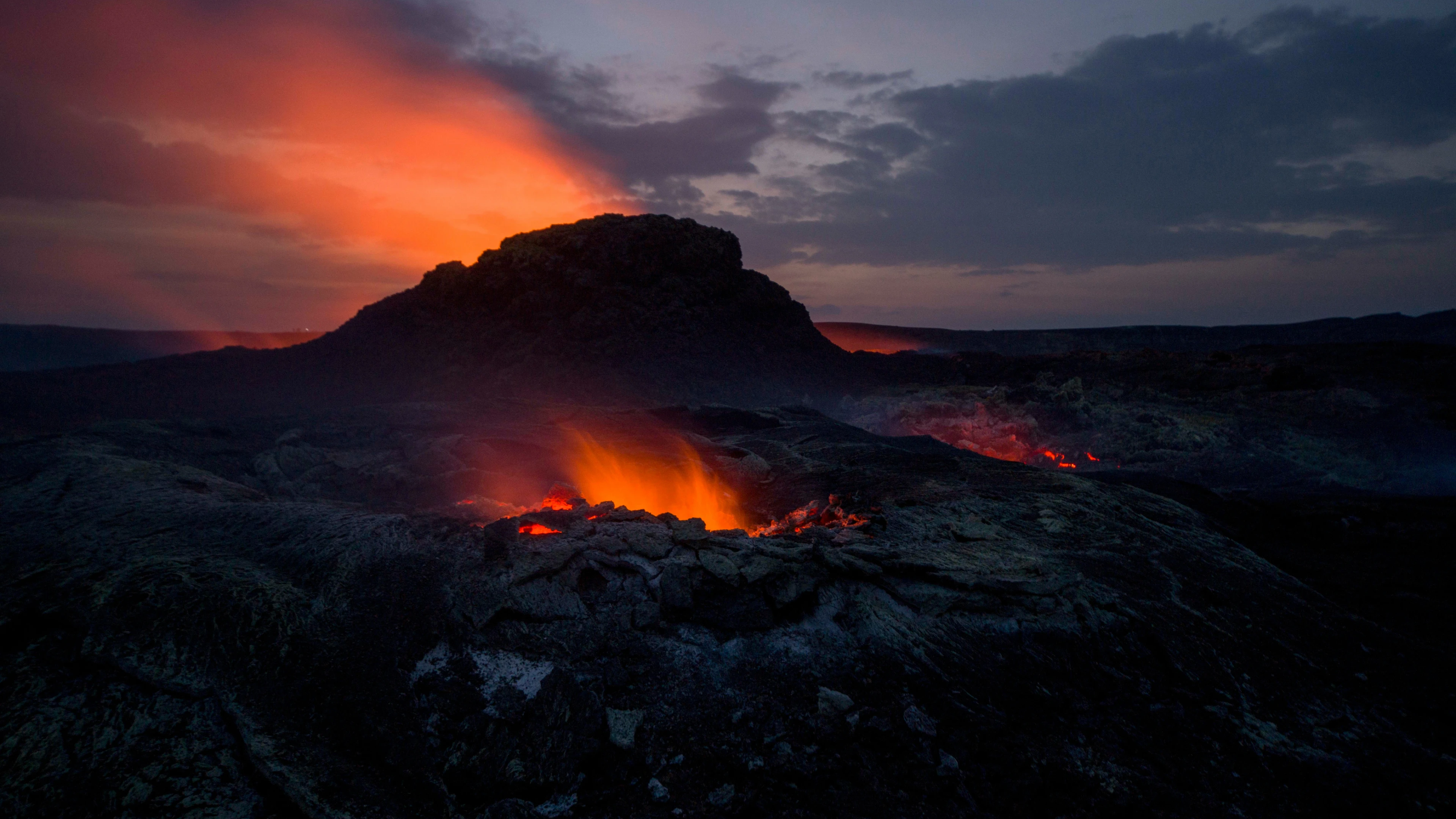
Think of it like fluid mechanics: old power flows carve channels in the terrain, then the water disappears, and motorcyclists ride the dry riverbed without realizing the old currents still define every turn.
When you ride quietly, you are not exploring empty hills, you are moving through abandoned interfaces between Mawkmai princes, Lawa elders, Karen headmen, and forest officers who once taxed every elephant and every log that crossed these ridges.
The Architecture
To ride Pang Mapha intelligently, you build a three-layer system in your head: geology, historical logistics, and present border risk.
The limestone karst and steep teak slopes dictate where any road or trail can realistically exist, then the old teak-and-salween economy explains why certain improbable lines were cut, and modern conservation plus drug routes decides which of those lines remain open, watched, or quietly discouraged.
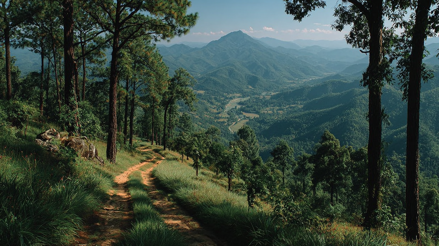
In practice, your "architecture" is a loop of anchor points and escape lines: Soppong as the fuel and mesh hub on Route 1095, side spokes toward Ban Nam Rin and Tham Lod, dirt connectors over to Khun Yuam or Wiang Haeng, and a mental firewall that avoids drifting west into Salween-facing military zones without a clear purpose and a local name attached.
This is just graph theory written on mountains, where nodes are not GPS waypoints but people with keys: a Pang Mapha guesthouse owner who knows which Lawa village accepts visitors this season, a coffee buyer in Khun Yuam who can tell you which forestry checkpoint is tense after a land case, a mechanic in Mae La Noi who knows which truck tracks are actually opium-era supply lines still in use at night.
The Local Constraint
The biggest constraint in Pang Mapha is not the road, it is the invisibility of power.
The log coffin caves proved that people have been mapping ancestry onto these hills for two thousand years, and every later wave, from Lawa elders to Shan sawbwas to the Royal Forest Department, layered another invisible grid of "this is ours" on top, which current law only partly reflects.
On the ground, this shows up as odd patterns: a perfect gravel climb suddenly blocked by a bamboo gate with no sign, a wide dirt road that appears on no map because it was cut for teak, or a tiny track that everyone pretends does not exist because it leads toward Salween villages entangled with Burmese-side militias or informal customs.
If you ignore that and ride like the hills are open commons, you will feel smooth for one day then hit a social wall on day two, when a headman who remembers forced resettlement or burned fields quietly decides you are noise, not signal.
The Field Move
The field move is simple: design your Pang Mapha loop as if you were a low-bandwidth agent on a fragile network who must conserve trust, fuel, and uncertainty at all times.
Start with stable spines: Route 1095 between Pai, Pang Mapha, and Mae Hong Son, and Route 108 between Mae Hong Son, Khun Yuam, and Mae Sariang, because those follow the same corridors that once moved elephants, teak, and caravans; they are your reliable backbone where fuel, food, and basic repairs are almost guaranteed.
From that spine, treat every side road as a query, not a right: short branch to Tham Lod and Ban Jabo, climb to a Lawa or Karen village above Soppong, cut across dirt toward Mae Lana or Huai Hea, then always return to a backbone or a known coffee node before dark, the way caravans once staged at safe depots before crossing the Salween the next morning.
Think like an economist looking at transaction costs: each extra unplanned ridge you cross raises your "social cost" if you get stuck and need help from a village that has already dealt with decades of state forestry, land arrests, or evangelists who arrived promising change and left paperwork.
Quiet riding is an interface choice, not a mood, so keep engine noise low near villages, park outside the cluster of houses, walk in, buy a soda or coffee first, and let people decide if you are just passing or if your route can be extended through their network.
If someone like a Pang Mapha guesthouse owner, a local guide from the Tham Lod side, or a coffee farmer in Khun Yuam casually tells you "that way is not good now", treat it like a routing update from a trusted node and reroute, because they are reading currents you cannot see, from land cases to cross-border patrol patterns.
The Closing Truth
Move fast enough and patterns reveal themselves, but never faster than trust can update.
On the Pang Mapha frontier, the most reliable navigation system is still people who know which dead routes are truly dead and which are only sleeping.
Related blogs
Lorem ipsum dolor sit amet consectetur. Adipiscing eget risus tempus facilisis scelerisque vitae consectetur vitae. Amet faucibus venenatis donec mattis.


Pai District,
Mae Hong Son Province
58130, Thailand


